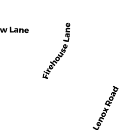
53 FIRE HOUSE ROAD
Owner Information
RICHMOND, TOWN OF
1529 STATE ROAD
RICHMOND, MA 01254


Property Details
53 FIRE HOUSE ROAD is classified as a (formerly Municipalities/Districts. Removed June 2009.).
53 FIRE HOUSE ROAD is valued at $603,100. The land is valued at $64,300 and the structures are valued at $538,800.
This property is in Zone COMM. Confirm with local Zoning Board authorities to ensure there are no overlays or other easements on this property.
Assessment data from fiscal year 2022.
Flood Data
According to the FEMA National Flood Hazard Layer, this property does not appear to be in a flood zone. It may also be in an area not yet reviewed. Nonetheless, confirm this information prior to taking any action.
To view the flood hazards around this property, create a FEMA "Firmette" Map of the area around 53 FIRE HOUSE ROAD.
Broadband Internet Providers
| Provider | Type | Bandwidth (mbps) | |
|---|---|---|---|
| Viasat Inc | Satellite | 35 | 3 |
| Richmond Telephone | DSL | 10 | 1 |
| Mid-Hudson Data Corp. | Fixed Wireless | 25 | 4 |
| Charter Communications Inc | Cable | 940 | 35 |
| T-Mobile | Fixed Wireless | 25 | 3 |
| GCI Communication Corp. | Satellite | 0 | 0 |
| HughesNet | Satellite | 25 | 3 |
| VSAT Systems, LLC. | Satellite | 2 | 1 |
Broadband service provider data from December 2020.